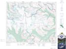
Maps showing Stutfield Glacier, Alberta
Stutfield Glacier is a Glacier located in Alberta and has an elevation of 3157 meters.
- Latitude: 52° 14' 25'' North (decimal: 52.2402777)
- Longitude: 117° 21' 8'' West (decimal: -117.3522221)
- Topography Feature Category: Glacier
- Geographical Feature: Glacier
- Canadian Province/Territory: Alberta
- Elevation: 3157 meters
- Atlas of Canada Locator Map: Stutfield Glacier
- GPS Coordinate Locator Map: Stutfield Glacier Lat/Long
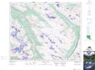
Stutfield Glacier NTS Map Sheets