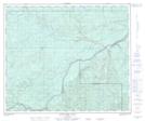
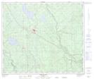
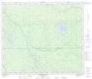
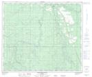
Maps showing Iosegun River, 66-21-W5, Alberta
Iosegun River is a River located in 66-21-W5, Alberta and has an elevation of 723 meters.
- Latitude: 54° 44' 56'' North (decimal: 54.7488888)
- Longitude: 117° 10' 19'' West (decimal: -117.1719443)
- Topography Feature Category: River
- Geographical Feature: River
- Canadian Province/Territory: Alberta
- Elevation: 723 meters
- Location: 66-21-W5
- Atlas of Canada Locator Map: Iosegun River
- GPS Coordinate Locator Map: Iosegun River Lat/Long
Iosegun River NTS Map Sheets