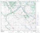
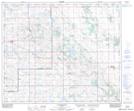
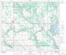
Maps showing Irish Creek, 31,32-53-3-W4, Alberta
Irish Creek is a River located in 31,32-53-3-W4, Alberta and has an elevation of 558 meters.
- Latitude: 53° 37' 35'' North (decimal: 53.6263889)
- Longitude: 110° 25' 19'' West (decimal: -110.4219443)
- Topography Feature Category: River
- Geographical Feature: Creek
- Canadian Province/Territory: Alberta
- Elevation: 558 meters
- Location: 31,32-53-3-W4
- Atlas of Canada Locator Map: Irish Creek
- GPS Coordinate Locator Map: Irish Creek Lat/Long
Irish Creek NTS Map Sheets