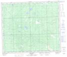
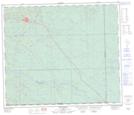
Maps showing Island Lake, 65-7-W5, Alberta
Island Lake is a Lake located in 65-7-W5, Alberta and has an elevation of 835 meters.
- Latitude: 54° 36' 24'' North (decimal: 54.6066666)
- Longitude: 115° 0' 25'' West (decimal: -115.0069443)
- Topography Feature Category: Lake
- Geographical Feature: Lake
- Canadian Province/Territory: Alberta
- Elevation: 835 meters
- Location: 65-7-W5
- Atlas of Canada Locator Map: Island Lake
- GPS Coordinate Locator Map: Island Lake Lat/Long
Island Lake NTS Map Sheets