Canada Topographic Maps

Jackpot Creek Topo Maps

Topography maps and Latitude/Longitude Location

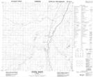
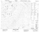
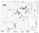
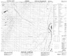
Maps showing Jackpot Creek, 125-18-W5, Alberta

Jackpot Creek is a River located in 125-18-W5, Alberta and has an elevation of 293 meters.

  • Latitude: 59° 51' 46'' North   (decimal: 59.8627777)
  • Longitude: 117° 1' 45'' West   (decimal: -117.0291667)
  • Topography Feature Category: River
  • Geographical Feature: Creek
  • Canadian Province/Territory: Alberta
  • Elevation: 293 meters
  • Location: 125-18-W5
  • Atlas of Canada Locator Map: Jackpot Creek
  • GPS Coordinate Locator Map: Jackpot Creek Lat/Long

Jackpot Creek NTS Map Sheets

084N11 Steen River Topographic Map at 1:50,000 scale

084N12 Jackpot Creek Topographic Map at 1:50,000 scale

084N13 Esk Lake Topographic Map at 1:50,000 scale

084N14 Indian Cabins Topographic Map at 1:50,000 scale

084N15 Lessard Creek Topographic Map at 1:50,000 scale

084N Steen River Topographic Map at 1:250,000 scale

 
Buy Topographic Maps DVD
Newsletter Sign-up

Yes, I want to receive map store discounts.


Bookmark and Share