Canada Topographic Maps

James Creek Topo Maps

Topography maps and Latitude/Longitude Location

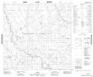
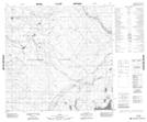
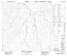
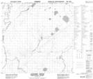
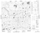
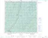
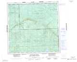
Maps showing James Creek, 124-18-W5, Alberta

James Creek is a River located in 124-18-W5, Alberta and has an elevation of 301 meters.

  • Latitude: 59° 48' 6'' North   (decimal: 59.8016666)
  • Longitude: 116° 58' 20'' West   (decimal: -116.9722222)
  • Topography Feature Category: River
  • Geographical Feature: Creek
  • Canadian Province/Territory: Alberta
  • Elevation: 301 meters
  • Location: 124-18-W5
  • Atlas of Canada Locator Map: James Creek
  • GPS Coordinate Locator Map: James Creek Lat/Long

James Creek NTS Map Sheets

084N07 No Title Topographic Map at 1:50,000 scale

084N08 No Title Topographic Map at 1:50,000 scale

084N10 Perry Creek Topographic Map at 1:50,000 scale

084N15 Lessard Creek Topographic Map at 1:50,000 scale

084O05 No Title Topographic Map at 1:50,000 scale

084N Steen River Topographic Map at 1:250,000 scale

084O Whitesand River Topographic Map at 1:250,000 scale

 
Buy Topographic Maps DVD
Newsletter Sign-up

Yes, I want to receive map store discounts.


Bookmark and Share