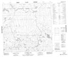
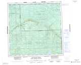
Maps showing Cladonia Lake, 7,8-119-6-W5, Alberta
Cladonia Lake is a Lake located in 7,8-119-6-W5, Alberta and has an elevation of 793 meters.
- Latitude: 59° 19' 33'' North (decimal: 59.3258333)
- Longitude: 115° 2' 11'' West (decimal: -115.0363889)
- Topography Feature Category: Lake
- Geographical Feature: Lake
- Canadian Province/Territory: Alberta
- Elevation: 793 meters
- Location: 7,8-119-6-W5
- Atlas of Canada Locator Map: Cladonia Lake
- GPS Coordinate Locator Map: Cladonia Lake Lat/Long
Cladonia Lake NTS Map Sheets