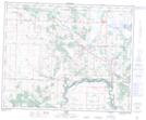
Maps showing Clive, 31-40-24-W4, Alberta
Clive is a Village located in 31-40-24-W4, Alberta and has an elevation of 859 meters.
- Latitude: 52° 28' 31'' North (decimal: 52.4752776)
- Longitude: 113° 26' 54'' West (decimal: -113.4483331)
- Topography Feature Category: Village
- Geographical Feature: Village
- Canadian Province/Territory: Alberta
- Elevation: 859 meters
- Location: 31-40-24-W4
- Atlas of Canada Locator Map: Clive
- GPS Coordinate Locator Map: Clive Lat/Long