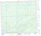
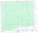
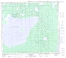
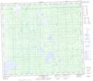
Maps showing Nipisi Lake, 78-6,7-W5, Alberta
Nipisi Lake is a Lake located in 78-6,7-W5, Alberta and has an elevation of 658 meters.
- Latitude: 55° 46' 36'' North (decimal: 55.7766666)
- Longitude: 114° 58' 41'' West (decimal: -114.9780555)
- Topography Feature Category: Lake
- Geographical Feature: Lake
- Canadian Province/Territory: Alberta
- Elevation: 658 meters
- Location: 78-6,7-W5
- Atlas of Canada Locator Map: Nipisi Lake
- GPS Coordinate Locator Map: Nipisi Lake Lat/Long
Nipisi Lake NTS Map Sheets