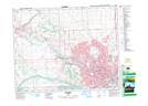
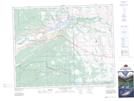
Maps showing Towers Ridge, 25-4-W5, Alberta
Towers Ridge is a Mountain located in 25-4-W5, Alberta and has an elevation of 1247 meters.
- Latitude: 51° 6' 34'' North (decimal: 51.1094444)
- Longitude: 114° 28' 52'' West (decimal: -114.4811111)
- Topography Feature Category: Mountain
- Geographical Feature: Ridge
- Canadian Province/Territory: Alberta
- Elevation: 1247 meters
- Location: 25-4-W5
- Atlas of Canada Locator Map: Towers Ridge
- GPS Coordinate Locator Map: Towers Ridge Lat/Long
Towers Ridge NTS Map Sheets