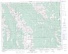
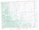
Maps showing Trap Creek, Alberta
Trap Creek is a River located in Alberta and has an elevation of 1512 meters.
- Latitude: 50° 28' 45'' North (decimal: 50.4791999)
- Longitude: 114° 25' 5'' West (decimal: -114.4180999)
- Topography Feature Category: River
- Geographical Feature: Creek
- Canadian Province/Territory: Alberta
- Elevation: 1512 meters
- GPS Coordinate Locator Map: Trap Creek Lat/Long
Trap Creek NTS Map Sheets