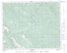
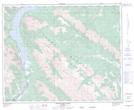
Maps showing Otter Creek, 19-37-14-W5, Alberta
Otter Creek is a River located in 19-37-14-W5, Alberta.
- Latitude: 52° 11' 29'' North (decimal: 52.1913889)
- Longitude: 115° 59' 00'' West (decimal: -115.9833333)
- Topography Feature Category: River
- Geographical Feature: Creek
- Canadian Province/Territory: Alberta
- Location: 19-37-14-W5
- Atlas of Canada Locator Map: Otter Creek
- GPS Coordinate Locator Map: Otter Creek Lat/Long
Otter Creek NTS Map Sheets