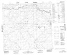
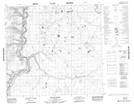
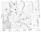
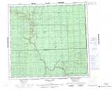
Maps showing Owl Creek, 101-8-W5, Alberta
Owl Creek is a River located in 101-8-W5, Alberta and has an elevation of 357 meters.
- Latitude: 57° 48' 45'' North (decimal: 57.8125000)
- Longitude: 115° 14' 37'' West (decimal: -115.2436111)
- Topography Feature Category: River
- Geographical Feature: Creek
- Canadian Province/Territory: Alberta
- Elevation: 357 meters
- Location: 101-8-W5
- Atlas of Canada Locator Map: Owl Creek
- GPS Coordinate Locator Map: Owl Creek Lat/Long
Owl Creek NTS Map Sheets