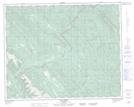
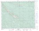
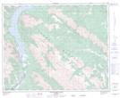
Maps showing Cripple Creek, 38-14-W5, Alberta
Cripple Creek is a River located in 38-14-W5, Alberta and has an elevation of 1388 meters.
- Latitude: 52° 15' 29'' North (decimal: 52.2580555)
- Longitude: 115° 53' 1'' West (decimal: -115.8836110)
- Topography Feature Category: River
- Geographical Feature: Creek
- Canadian Province/Territory: Alberta
- Elevation: 1388 meters
- Location: 38-14-W5
- Atlas of Canada Locator Map: Cripple Creek
- GPS Coordinate Locator Map: Cripple Creek Lat/Long
Cripple Creek NTS Map Sheets