Maps showing Currie Creek, 21-11-W5, Alberta
Currie Creek is a River located in 21-11-W5, Alberta and has an elevation of 2099 meters.
- Latitude: 50° 49' 52'' North (decimal: 50.8311111)
- Longitude: 115° 27' 28'' West (decimal: -115.4577777)
- Topography Feature Category: River
- Geographical Feature: Creek
- Canadian Province/Territory: Alberta
- Elevation: 2099 meters
- Location: 21-11-W5
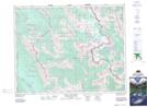
- Atlas of Canada Locator Map: Currie Creek
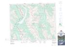
- GPS Coordinate Locator Map: Currie Creek Lat/Long
Currie Creek NTS Map Sheets