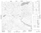
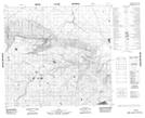
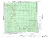
Maps showing Wadlin Lake, 100,101-10,11-W5, Alberta
Wadlin Lake is a Lake located in 100,101-10,11-W5, Alberta and has an elevation of 706 meters.
- Latitude: 57° 44' 13'' North (decimal: 57.7369444)
- Longitude: 115° 36' 10'' West (decimal: -115.6027778)
- Topography Feature Category: Lake
- Geographical Feature: Lake
- Canadian Province/Territory: Alberta
- Elevation: 706 meters
- Location: 100,101-10,11-W5
- Atlas of Canada Locator Map: Wadlin Lake
- GPS Coordinate Locator Map: Wadlin Lake Lat/Long
Wadlin Lake NTS Map Sheets