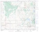
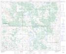
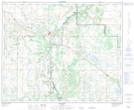
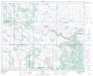
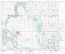
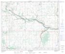
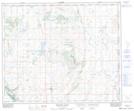
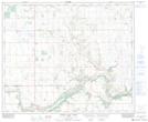
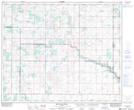
Maps showing Municipal District of Wainwright No. 61, 44-5-W4, Alberta
Municipal District of Wainwright No. 61 is a Major municipal/district area - major agglomeration located in 44-5-W4, Alberta.
- Latitude: 52° 50' 36'' North (decimal: 52.8433333)
- Longitude: 110° 43' 45'' West (decimal: -110.7291666)
- Topography Feature Category: Major municipal/district area - major agglomeration
- Geographical Feature: Municipal District
- Canadian Province/Territory: Alberta
- Location: 44-5-W4
- Atlas of Canada Locator Map: Municipal District of Wainwright No. 61
- GPS Coordinate Locator Map: Municipal District of Wainwright No. 61 Lat/Long
Municipal District of Wainwright No. 61 NTS Map Sheets