Canada Topographic Maps

Whitemud River Topo Maps

Topography maps and Latitude/Longitude Location

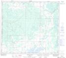
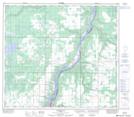
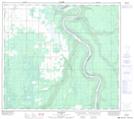
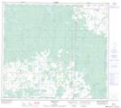
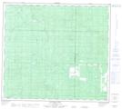
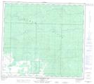
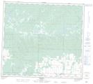
Maps showing Whitemud River, 30-88-20-W5, Alberta

Whitemud River is a River located in 30-88-20-W5, Alberta and has an elevation of 628 meters.

  • Latitude: 56° 39' 42'' North   (decimal: 56.6616666)
  • Longitude: 117° 10' 4'' West   (decimal: -117.1677778)
  • Topography Feature Category: River
  • Geographical Feature: River
  • Canadian Province/Territory: Alberta
  • Elevation: 628 meters
  • Location: 30-88-20-W5
  • Atlas of Canada Locator Map: Whitemud River
  • GPS Coordinate Locator Map: Whitemud River Lat/Long

Whitemud River NTS Map Sheets

084C05 Chinook Valley Topographic Map at 1:50,000 scale

084C06 Weberville Topographic Map at 1:50,000 scale

084C11 Deadwood Topographic Map at 1:50,000 scale

084C12 Dixonville Topographic Map at 1:50,000 scale

084D09 Sulphur Lake Topographic Map at 1:50,000 scale

084D10 South Whitemud Lake Topographic Map at 1:50,000 scale

084D11 Worsley Topographic Map at 1:50,000 scale

084C Peace River Topographic Map at 1:250,000 scale

084D Clear Hills Topographic Map at 1:250,000 scale

 
Buy Topographic Maps DVD
Newsletter Sign-up

Yes, I want to receive map store discounts.


Bookmark and Share