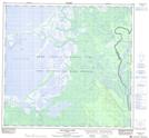
Maps showing Willow Point, 109-12-W4, Alberta
Willow Point is a Cape located in 109-12-W4, Alberta.
- Latitude: 58° 26' 33'' North (decimal: 58.4424999)
- Longitude: 111° 59' 28'' West (decimal: -111.9911110)
- Topography Feature Category: Cape
- Geographical Feature: Point
- Canadian Province/Territory: Alberta
- Location: 109-12-W4
- Atlas of Canada Locator Map: Willow Point
- GPS Coordinate Locator Map: Willow Point Lat/Long
Willow Point NTS Map Sheets