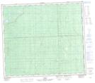
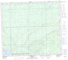
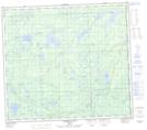
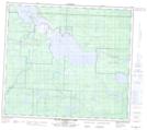
Maps showing Willow River, 80-25-W4, Alberta
Willow River is a River located in 80-25-W4, Alberta and has an elevation of 642 meters.
- Latitude: 55° 58' 39'' North (decimal: 55.9775000)
- Longitude: 113° 54' 51'' West (decimal: -113.9141666)
- Topography Feature Category: River
- Geographical Feature: River
- Canadian Province/Territory: Alberta
- Elevation: 642 meters
- Location: 80-25-W4
- Atlas of Canada Locator Map: Willow River
- GPS Coordinate Locator Map: Willow River Lat/Long
Willow River NTS Map Sheets
083O09 No Title Topographic Map at 1:50,000 scale
083O10 Marten Lakes Topographic Map at 1:50,000 scale
083O16 Mistehae Lake Topographic Map at 1:50,000 scale
083P13 South Wabasca Lake Topographic Map at 1:50,000 scale
083O Lesser Slave Lake Topographic Map at 1:250,000 scale
083P Pelican River Topographic Map at 1:250,000 scale
083O10 Marten Lakes Topographic Map at 1:50,000 scale
083O16 Mistehae Lake Topographic Map at 1:50,000 scale
083P13 South Wabasca Lake Topographic Map at 1:50,000 scale
083O Lesser Slave Lake Topographic Map at 1:250,000 scale
083P Pelican River Topographic Map at 1:250,000 scale