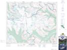
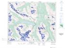
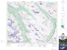
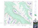
Maps showing Winston Churchill Range, 38,39,40-23,24-W5, Alberta
Winston Churchill Range is a Mountain located in 38,39,40-23,24-W5, Alberta and has an elevation of 2470 meters.
- Latitude: 52° 21' 32'' North (decimal: 52.3588889)
- Longitude: 117° 26' 58'' West (decimal: -117.4494443)
- Topography Feature Category: Mountain
- Geographical Feature: Range
- Canadian Province/Territory: Alberta
- Elevation: 2470 meters
- Location: 38,39,40-23,24-W5
- Atlas of Canada Locator Map: Winston Churchill Range
- GPS Coordinate Locator Map: Winston Churchill Range Lat/Long
Winston Churchill Range NTS Map Sheets