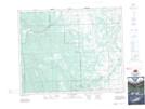
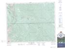
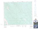
Maps showing Parker Ridge, 32,33-8-W5, Alberta
Parker Ridge is a Mountain located in 32,33-8-W5, Alberta and has an elevation of 1364 meters.
- Latitude: 51° 48' 7'' North (decimal: 51.8019444)
- Longitude: 115° 5' 11'' West (decimal: -115.0863889)
- Topography Feature Category: Mountain
- Geographical Feature: Ridge
- Canadian Province/Territory: Alberta
- Elevation: 1364 meters
- Location: 32,33-8-W5
- Atlas of Canada Locator Map: Parker Ridge
- GPS Coordinate Locator Map: Parker Ridge Lat/Long
Parker Ridge NTS Map Sheets