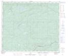
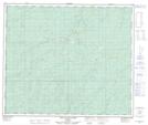
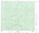
Maps showing Deep Valley Creek, 64-25-W5, Alberta
Deep Valley Creek is a River located in 64-25-W5, Alberta and has an elevation of 792 meters.
- Latitude: 54° 33' 27'' North (decimal: 54.5574999)
- Longitude: 117° 44' 12'' West (decimal: -117.7366667)
- Topography Feature Category: River
- Geographical Feature: Creek
- Canadian Province/Territory: Alberta
- Elevation: 792 meters
- Location: 64-25-W5
- Atlas of Canada Locator Map: Deep Valley Creek
- GPS Coordinate Locator Map: Deep Valley Creek Lat/Long
Deep Valley Creek NTS Map Sheets