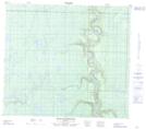
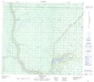
Maps showing Agnes Lake, 78-17-W4, Alberta
Agnes Lake is a Lake located in 78-17-W4, Alberta and has an elevation of 551 meters.
- Latitude: 55° 48' 28'' North (decimal: 55.8077777)
- Longitude: 112° 31' 28'' West (decimal: -112.5244444)
- Topography Feature Category: Lake
- Geographical Feature: Lake
- Canadian Province/Territory: Alberta
- Elevation: 551 meters
- Location: 78-17-W4
- Atlas of Canada Locator Map: Agnes Lake
- GPS Coordinate Locator Map: Agnes Lake Lat/Long
Agnes Lake NTS Map Sheets