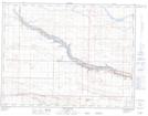
Maps showing Stafford Reservoir, Alberta
Stafford Reservoir is a Lake located in Alberta.
- Latitude: 49° 42' 15'' North (decimal: 49.7041666)
- Longitude: 112° 25' 18'' West (decimal: -112.4216667)
- Topography Feature Category: Lake
- Geographical Feature: Reservoir
- Canadian Province/Territory: Alberta
- Atlas of Canada Locator Map: Stafford Reservoir
- GPS Coordinate Locator Map: Stafford Reservoir Lat/Long
Stafford Reservoir NTS Map Sheets