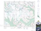
Maps showing Castleguard Meadows, Alberta
Castleguard Meadows is a Low vegetation located in Alberta.
- Latitude: 52° 7' 3'' North (decimal: 52.1174999)
- Longitude: 117° 11' 35'' West (decimal: -117.1930556)
- Topography Feature Category: Low vegetation
- Geographical Feature: Meadows
- Canadian Province/Territory: Alberta
- Atlas of Canada Locator Map: Castleguard Meadows
- GPS Coordinate Locator Map: Castleguard Meadows Lat/Long
Castleguard Meadows NTS Map Sheets