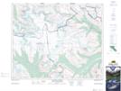
Maps showing Hilda Creek, Alberta
Hilda Creek is a River located in Alberta.
- Latitude: 52° 11' 57'' North (decimal: 52.1991666)
- Longitude: 117° 5' 19'' West (decimal: -117.0886110)
- Topography Feature Category: River
- Geographical Feature: Creek
- Canadian Province/Territory: Alberta
- Atlas of Canada Locator Map: Hilda Creek
- GPS Coordinate Locator Map: Hilda Creek Lat/Long
Hilda Creek NTS Map Sheets