Maps showing Lac Athabasca, Alberta
Lac Athabasca is a Lake located in Alberta and has an elevation of 224 meters.
- Latitude: 59° 0' North (decimal: 59.0000000)
- Longitude: 110° 30' West (decimal: -110.5000000)
- Topography Feature Category: Lake
- Geographical Feature: Lac
- Canadian Province/Territory: Alberta
- Elevation: 224 meters
- Atlas of Canada Locator Map: Lac Athabasca
- GPS Coordinate Locator Map: Lac Athabasca Lat/Long
Lac Athabasca NTS Map Sheets
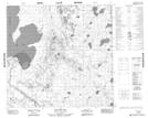
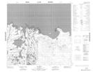
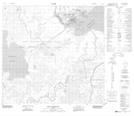
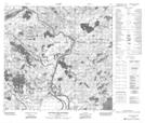
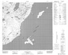
074L09 Old Fort Bay Topographic Map at 1:50,000 scale
074L10 Big Point Topographic Map at 1:50,000 scale
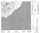
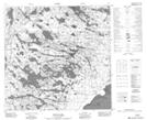
074L11 Fort Chipewyan Topographic Map at 1:50,000 scale
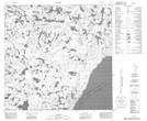
074L14 Riviere Des Rochers Topographic Map at 1:50,000 scale
074L15 Bustard Island Topographic Map at 1:50,000 scale
074L16 Stone Point Topographic Map at 1:50,000 scale
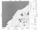
074M01 Winnifred Lake Topographic Map at 1:50,000 scale
074M02 No Title Topographic Map at 1:50,000 scale
074M08 Wylie Lake Topographic Map at 1:50,000 scale
074L Fort Chipewyan Topographic Map at 1:250,000 scale
074M Fitzgerald Topographic Map at 1:250,000 scale