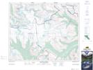
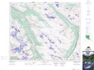
Maps showing Kitchener Creek, Alberta
Kitchener Creek is a River located in Alberta.
- Latitude: 52° 15' 52'' North (decimal: 52.2644444)
- Longitude: 117° 17' 55'' West (decimal: -117.2986111)
- Topography Feature Category: River
- Geographical Feature: Creek
- Canadian Province/Territory: Alberta
- Atlas of Canada Locator Map: Kitchener Creek
- GPS Coordinate Locator Map: Kitchener Creek Lat/Long
Kitchener Creek NTS Map Sheets