Maps showing Battle River, Alberta
Battle River is a River located in Alberta and has an elevation of 565 meters.
- Latitude: 52° 51' 26'' North (decimal: 52.8572222)
- Longitude: 110° 0' 0'' West (decimal: -110.0000000)
- Topography Feature Category: River
- Geographical Feature: River
- Canadian Province/Territory: Alberta
- Elevation: 565 meters
- Atlas of Canada Locator Map: Battle River
- GPS Coordinate Locator Map: Battle River Lat/Long
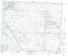
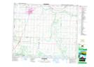
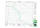
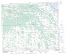
Battle River NTS Map Sheets
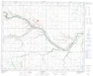
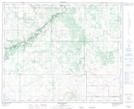
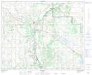
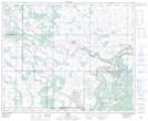
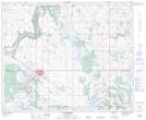
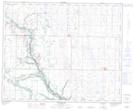
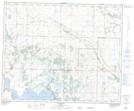
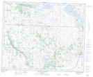
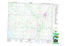
073D05 Alliance Topographic Map at 1:50,000 scale
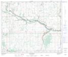
073D06 Brownfield Topographic Map at 1:50,000 scale
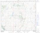
073D11 Hardisty Topographic Map at 1:50,000 scale
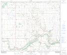
073D14 Irma Topographic Map at 1:50,000 scale
073D15 Wainwright Topographic Map at 1:50,000 scale
073D16 Mclaughlin Topographic Map at 1:50,000 scale
073E01 Paradise Valley Topographic Map at 1:50,000 scale
073E02 Grizzly Bear Creek Topographic Map at 1:50,000 scale
083A08 Halkirk Topographic Map at 1:50,000 scale
083A09 Forestburg Topographic Map at 1:50,000 scale
083A10 Donalda Topographic Map at 1:50,000 scale
083A11 Chain Lakes Topographic Map at 1:50,000 scale
083A12 Ponoka Topographic Map at 1:50,000 scale
083A13 Bearhills Lake Topographic Map at 1:50,000 scale
083A14 Wetaskiwin Topographic Map at 1:50,000 scale
083A15 Ferintosh Topographic Map at 1:50,000 scale
083B16 Winfield Topographic Map at 1:50,000 scale
073D Wainwright Topographic Map at 1:250,000 scale
073E Vermilion Topographic Map at 1:250,000 scale
083A Red Deer Topographic Map at 1:250,000 scale
083B Rocky Mountain House Topographic Map at 1:250,000 scale