Canada Topographic Maps

Stony Indian Reserve 142-143-144 Topo Maps

Topography maps and Latitude/Longitude Location

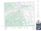
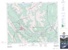
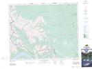
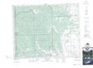
Maps showing Stony Indian Reserve 142-143-144, Alberta

Stony Indian Reserve 142-143-144 is a Indian Reserve located in Alberta.

  • Latitude: 51° 10' North   (decimal: 51.1666999)
  • Longitude: 114° 56' West   (decimal: -114.9332999)
  • Topography Feature Category: Indian Reserve
  • Geographical Feature: Indian Reserve
  • Canadian Province/Territory: Alberta
  • GPS Coordinate Locator Map: Stony Indian Reserve 142-143-144 Lat/Long

Stony Indian Reserve 142-143-144 NTS Map Sheets

082O02 Jumpingpound Creek Topographic Map at 1:50,000 scale

082O03 Canmore Topographic Map at 1:50,000 scale

082O06 Lake Minnewanka Topographic Map at 1:50,000 scale

082O07 Wildcat Hills Topographic Map at 1:50,000 scale

082O Calgary Topographic Map at 1:250,000 scale

 
Buy Topographic Maps DVD
Newsletter Sign-up

Yes, I want to receive map store discounts.


Bookmark and Share