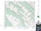
Maps showing Watchtower Creek, Alberta
Watchtower Creek is a River located in Alberta.
- Latitude: 52° 51' 50'' North (decimal: 52.8638888)
- Longitude: 117° 47' 21'' West (decimal: -117.7891666)
- Topography Feature Category: River
- Geographical Feature: Creek
- Canadian Province/Territory: Alberta
- Atlas of Canada Locator Map: Watchtower Creek
- GPS Coordinate Locator Map: Watchtower Creek Lat/Long
Watchtower Creek NTS Map Sheets