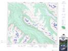
Maps showing Little Shovel Pass, Alberta
Little Shovel Pass is a Valley located in Alberta.
- Latitude: 52° 44' 11'' North (decimal: 52.7363888)
- Longitude: 117° 45' 30'' West (decimal: -117.7583332)
- Topography Feature Category: Valley
- Geographical Feature: Pass
- Canadian Province/Territory: Alberta
- Atlas of Canada Locator Map: Little Shovel Pass
- GPS Coordinate Locator Map: Little Shovel Pass Lat/Long
Little Shovel Pass NTS Map Sheets