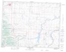
Maps showing Improvement District of Ranchland No. 6, Alberta
Improvement District of Ranchland No. 6 is a Other municipal/district area - miscellaneous located in Alberta.
- Latitude: 49° 55' 56'' North (decimal: 49.9321999)
- Longitude: 114° 24' 36'' West (decimal: -114.4099999)
- Topography Feature Category: Other municipal/district area - miscellaneous
- Geographical Feature: Improvement District
- Canadian Province/Territory: Alberta
- GPS Coordinate Locator Map: Improvement District of Ranchland No. 6 Lat/Long
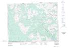
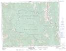
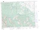
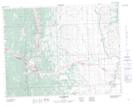
Improvement District of Ranchland No. 6 NTS Map Sheets
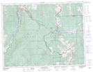
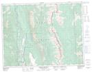
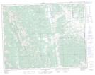
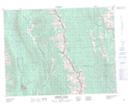
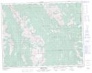
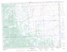
082G01 Sage Creek Topographic Map at 1:50,000 scale
082G07 Flathead Ridge Topographic Map at 1:50,000 scale
082G08 Beaver Mines Topographic Map at 1:50,000 scale
082G09 Blairmore Topographic Map at 1:50,000 scale
082G10 Crowsnest Topographic Map at 1:50,000 scale
082G15 Tornado Mountain Topographic Map at 1:50,000 scale
082G16 Maycroft Topographic Map at 1:50,000 scale
082H04 Waterton Lakes Topographic Map at 1:50,000 scale
082H05 Pincher Creek Topographic Map at 1:50,000 scale
082J01 Langford Creek Topographic Map at 1:50,000 scale
082J02 Fording River Topographic Map at 1:50,000 scale
082J07 Mount Head Topographic Map at 1:50,000 scale
082J08 Stimson Creek Topographic Map at 1:50,000 scale
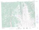
082G Fernie Topographic Map at 1:250,000 scale
082H Lethbridge Topographic Map at 1:250,000 scale
082J Kananaskis Lakes Topographic Map at 1:250,000 scale