Maps showing Peace-Athabasca Delta, Alberta
Peace-Athabasca Delta is a Cape located in Alberta.
- Latitude: 58° 40' North (decimal: 58.6666666)
- Longitude: 111° 30' West (decimal: -111.5000000)
- Topography Feature Category: Cape
- Geographical Feature: Delta
- Canadian Province/Territory: Alberta
- Atlas of Canada Locator Map: Peace-Athabasca Delta
- GPS Coordinate Locator Map: Peace-Athabasca Delta Lat/Long
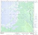
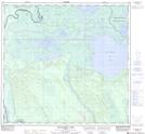
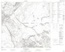
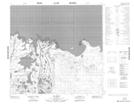
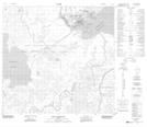
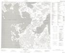
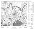
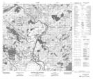
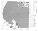
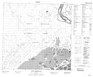
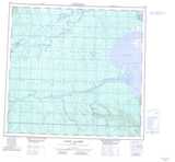
Peace-Athabasca Delta NTS Map Sheets
074L05 Welstead Lake Topographic Map at 1:50,000 scale
074L06 Richardson Lake Topographic Map at 1:50,000 scale
074L07 Keane Creek Topographic Map at 1:50,000 scale
074L10 Big Point Topographic Map at 1:50,000 scale
074L11 Fort Chipewyan Topographic Map at 1:50,000 scale
074L12 Hilda Lake Topographic Map at 1:50,000 scale
074L13 Baril River Topographic Map at 1:50,000 scale
074L14 Riviere Des Rochers Topographic Map at 1:50,000 scale
084I09 Spruce Point Topographic Map at 1:50,000 scale
084I16 Point Providence Topographic Map at 1:50,000 scale
074L Fort Chipewyan Topographic Map at 1:250,000 scale
084I Lake Claire Topographic Map at 1:250,000 scale