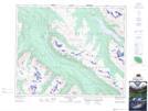
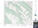
Maps showing The Snowbowl, Alberta
The Snowbowl is a Valley located in Alberta.
- Latitude: 52° 45' 39'' North (decimal: 52.7608333)
- Longitude: 117° 48' 18'' West (decimal: -117.8050000)
- Topography Feature Category: Valley
- Geographical Feature: Basin
- Canadian Province/Territory: Alberta
- Atlas of Canada Locator Map: The Snowbowl
- GPS Coordinate Locator Map: The Snowbowl Lat/Long
The Snowbowl NTS Map Sheets