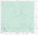
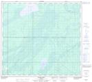
Maps showing Jackpine Creek, 24-95-10-W4, Alberta
Jackpine Creek is a River located in 24-95-10-W4, Alberta.
- Latitude: 57° 15' 40'' North (decimal: 57.2611111)
- Longitude: 111° 28' 18'' West (decimal: -111.4716666)
- Topography Feature Category: River
- Geographical Feature: Creek
- Canadian Province/Territory: Alberta
- Location: 24-95-10-W4
- Atlas of Canada Locator Map: Jackpine Creek
- GPS Coordinate Locator Map: Jackpine Creek Lat/Long
Jackpine Creek NTS Map Sheets