Maps showing Lacombe County, 19-40-26-W4, Alberta
Lacombe County is a Major municipal/district area - major agglomeration located in 19-40-26-W4, Alberta.
- Latitude: 52° 26' 55'' North (decimal: 52.4486110)
- Longitude: 113° 43' 21'' West (decimal: -113.7225000)
- Topography Feature Category: Major municipal/district area - major agglomeration
- Geographical Feature: Municipal District
- Canadian Province/Territory: Alberta
- Location: 19-40-26-W4
- Atlas of Canada Locator Map: Lacombe County
- GPS Coordinate Locator Map: Lacombe County Lat/Long
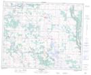
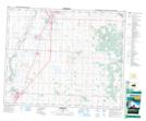
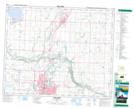
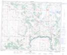
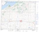
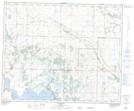
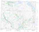
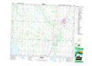
Lacombe County NTS Map Sheets
083A03 Delburne Topographic Map at 1:50,000 scale
083A04 Innisfail Topographic Map at 1:50,000 scale
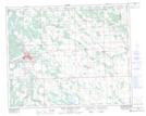
083A05 Red Deer Topographic Map at 1:50,000 scale
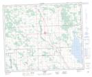
083A06 Alix Topographic Map at 1:50,000 scale
083A07 Stettler Topographic Map at 1:50,000 scale
083A10 Donalda Topographic Map at 1:50,000 scale
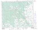
083A11 Chain Lakes Topographic Map at 1:50,000 scale
083A12 Ponoka Topographic Map at 1:50,000 scale
083B07 Rocky Mountain House Topographic Map at 1:50,000 scale
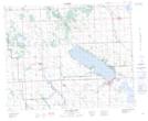
083B08 Sylvan Lake Topographic Map at 1:50,000 scale
083B09 Rimbey Topographic Map at 1:50,000 scale
083B10 Carlos Topographic Map at 1:50,000 scale
083A Red Deer Topographic Map at 1:250,000 scale
083B Rocky Mountain House Topographic Map at 1:250,000 scale