Maps showing Flagstaff County, 43-13-W4, Alberta
Flagstaff County is a Major municipal/district area - major agglomeration located in 43-13-W4, Alberta.
- Latitude: 52° 41' 00'' North (decimal: 52.6832429)
- Longitude: 111° 47' 34'' West (decimal: -111.7927590)
- Topography Feature Category: Major municipal/district area - major agglomeration
- Geographical Feature: Municipal District
- Canadian Province/Territory: Alberta
- Location: 43-13-W4
- Atlas of Canada Locator Map: Flagstaff County
- GPS Coordinate Locator Map: Flagstaff County Lat/Long
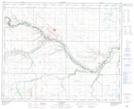
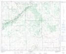
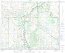
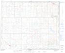
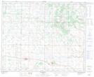
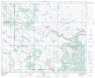
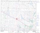
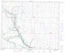
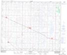
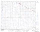
Flagstaff County NTS Map Sheets
073D05 Alliance Topographic Map at 1:50,000 scale
073D06 Brownfield Topographic Map at 1:50,000 scale
073D11 Hardisty Topographic Map at 1:50,000 scale
073D12 Lougheed Topographic Map at 1:50,000 scale
073D13 Sedgewick Topographic Map at 1:50,000 scale
073D14 Irma Topographic Map at 1:50,000 scale
073E04 Viking Topographic Map at 1:50,000 scale
083A08 Halkirk Topographic Map at 1:50,000 scale
083A09 Forestburg Topographic Map at 1:50,000 scale
083A16 Daysland Topographic Map at 1:50,000 scale
083H01 Holden Topographic Map at 1:50,000 scale
073D Wainwright Topographic Map at 1:250,000 scale
073E Vermilion Topographic Map at 1:250,000 scale
083A Red Deer Topographic Map at 1:250,000 scale
083H Edmonton Topographic Map at 1:250,000 scale