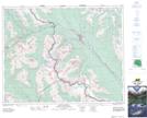
Maps showing Unity Peak, Alberta
Unity Peak is a Mountain located in Alberta.
- Latitude: 51° 26' 36'' North (decimal: 51.4433332)
- Longitude: 116° 4' 31'' West (decimal: -116.0752777)
- Topography Feature Category: Mountain
- Geographical Feature: Peak
- Canadian Province/Territory: Alberta
- Atlas of Canada Locator Map: Unity Peak
- GPS Coordinate Locator Map: Unity Peak Lat/Long