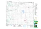
Maps showing Alexander, Alberta
Alexander is a Unincorporated area located in Alberta.
- Latitude: 53° 48' 12'' North (decimal: 53.8033333)
- Longitude: 113° 55' 7'' West (decimal: -113.9186110)
- Topography Feature Category: Unincorporated area
- Geographical Feature: Post Office
- Canadian Province/Territory: Alberta
- Atlas of Canada Locator Map: Alexander
- GPS Coordinate Locator Map: Alexander Lat/Long
Alexander NTS Map Sheets