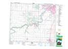
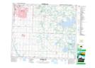
Maps showing Rideau Park, Alberta
Rideau Park is a Unincorporated area located in Alberta.
- Latitude: 53° 28' 40'' North (decimal: 53.4777777)
- Longitude: 113° 20' 10'' West (decimal: -113.3361110)
- Topography Feature Category: Unincorporated area
- Geographical Feature: Urban Community
- Canadian Province/Territory: Alberta
- Atlas of Canada Locator Map: Rideau Park
- GPS Coordinate Locator Map: Rideau Park Lat/Long
Rideau Park NTS Map Sheets