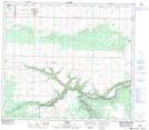
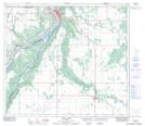
Maps showing Birch Hills County, 4-78-1-W6, Alberta
Birch Hills County is a Major municipal/district area - major agglomeration located in 4-78-1-W6, Alberta.
- Latitude: 55° 43' 23'' North (decimal: 55.7230555)
- Longitude: 118° 4' 38'' West (decimal: -118.0772221)
- Topography Feature Category: Major municipal/district area - major agglomeration
- Geographical Feature: Municipal District
- Canadian Province/Territory: Alberta
- Location: 4-78-1-W6
- Atlas of Canada Locator Map: Birch Hills County
- GPS Coordinate Locator Map: Birch Hills County Lat/Long
Birch Hills County NTS Map Sheets