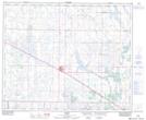
Maps showing Beaver County, 49-14-W4, Alberta
Beaver County is a Major municipal/district area - major agglomeration located in 49-14-W4, Alberta.
- Latitude: 53° 14' 59'' North (decimal: 53.2497221)
- Longitude: 112° 11' 6'' West (decimal: -112.1849999)
- Topography Feature Category: Major municipal/district area - major agglomeration
- Geographical Feature: Municipal District
- Canadian Province/Territory: Alberta
- Location: 49-14-W4
- Atlas of Canada Locator Map: Beaver County
- GPS Coordinate Locator Map: Beaver County Lat/Long
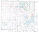
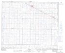
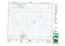
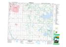
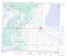
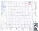
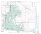
Beaver County NTS Map Sheets
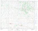
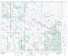
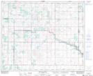
073D13 Sedgewick Topographic Map at 1:50,000 scale
073D14 Irma Topographic Map at 1:50,000 scale
073E03 Buffalo Creek Topographic Map at 1:50,000 scale
073E04 Viking Topographic Map at 1:50,000 scale
073E05 Innisfree Topographic Map at 1:50,000 scale
083H01 Holden Topographic Map at 1:50,000 scale
083H02 Camrose Topographic Map at 1:50,000 scale
083H06 Cooking Lake Topographic Map at 1:50,000 scale
083H07 Tofield Topographic Map at 1:50,000 scale
083H08 Ryley Topographic Map at 1:50,000 scale
083H10 Astotin Lake Topographic Map at 1:50,000 scale
073D Wainwright Topographic Map at 1:250,000 scale
073E Vermilion Topographic Map at 1:250,000 scale
083H Edmonton Topographic Map at 1:250,000 scale