Maps showing Cardston County, 4-24-W4, Alberta
Cardston County is a Major municipal/district area - major agglomeration located in 4-24-W4, Alberta.
- Latitude: 49° 18' 13'' North (decimal: 49.3036111)
- Longitude: 113° 7' 59'' West (decimal: -113.1330556)
- Topography Feature Category: Major municipal/district area - major agglomeration
- Geographical Feature: Municipal District
- Canadian Province/Territory: Alberta
- Location: 4-24-W4
- Atlas of Canada Locator Map: Cardston County
- GPS Coordinate Locator Map: Cardston County Lat/Long
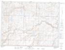
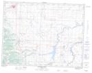
Cardston County NTS Map Sheets
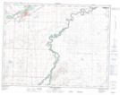
082H01 Milk River Topographic Map at 1:50,000 scale
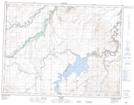
082H02 Shanks Lake Topographic Map at 1:50,000 scale
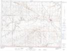
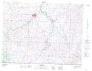
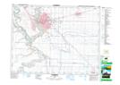
082H03 Cardston Topographic Map at 1:50,000 scale
082H04 Waterton Lakes Topographic Map at 1:50,000 scale
082H05 Pincher Creek Topographic Map at 1:50,000 scale
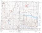
082H06 Raley Topographic Map at 1:50,000 scale
082H07 Raymond Topographic Map at 1:50,000 scale
082H10 Lethbridge Topographic Map at 1:50,000 scale
082H11 Fort Macleod Topographic Map at 1:50,000 scale
082H14 Monarch Topographic Map at 1:50,000 scale
082H Lethbridge Topographic Map at 1:250,000 scale