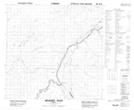
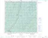
Maps showing Upper Hay River 212, 10,123,4, Alberta
Upper Hay River 212 is a Indian Reserve located in 10,123,4, Alberta.
- Latitude: 59° 3' 21'' North (decimal: 59.0558333)
- Longitude: 117° 45' 1'' West (decimal: -117.7502778)
- Topography Feature Category: Indian Reserve
- Geographical Feature: Indian Reserve - Réserve indienne
- Canadian Province/Territory: Alberta
- Location: 10,123,4
- Atlas of Canada Locator Map: Upper Hay River 212
- GPS Coordinate Locator Map: Upper Hay River 212 Lat/Long
Upper Hay River 212 NTS Map Sheets