Maps showing Chaba Peak, Alberta
Chaba Peak is a Mountain located in Alberta.
- Latitude: 52° 11' 52'' North (decimal: 52.1977777)
- Longitude: 117° 40' 18'' West (decimal: -117.6716667)
- Topography Feature Category: Mountain
- Geographical Feature: Peak
- Canadian Province/Territory: Alberta
- Atlas of Canada Locator Map: Chaba Peak
- GPS Coordinate Locator Map: Chaba Peak Lat/Long
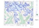
Chaba Peak NTS Map Sheets