Canada Topographic Maps

Liard River Topo Maps

Topography maps and Latitude/Longitude Location

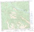
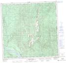
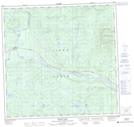
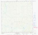
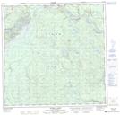
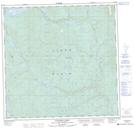
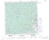
Maps showing Liard River, Cassiar Land District, British Columbia

Liard River is a Unincorporated area located in Cassiar Land District, British Columbia and has an elevation of 450 meters.

  • Latitude: 59° 25' North   (decimal: 59.4166999)
  • Longitude: 126° 5' West   (decimal: -126.0832999)
  • Topography Feature Category: Unincorporated area
  • Geographical Feature: Locality
  • Canadian Province/Territory: British Columbia
  • Elevation: 450 meters
  • Location: Cassiar Land District
  • Atlas of Canada Locator Map: Liard River
  • GPS Coordinate Locator Map: Liard River Lat/Long

Liard River NTS Map Sheets

094M08 Vents River Topographic Map at 1:50,000 scale

094M09 Teeter Creek Topographic Map at 1:50,000 scale

094M10 Grant Lake Topographic Map at 1:50,000 scale

094M12 Tatisno Mountain Topographic Map at 1:50,000 scale

094M13 Egnell Lakes Topographic Map at 1:50,000 scale

094M14 Hillgren Lakes Topographic Map at 1:50,000 scale

094M Rabbit River Topographic Map at 1:250,000 scale

 
Buy Topographic Maps DVD
Newsletter Sign-up

Yes, I want to receive map store discounts.


Bookmark and Share