Maps showing Bulkley River, Cassiar Land District, British Columbia
Bulkley River is a River located in Cassiar Land District, British Columbia and has an elevation of 391 meters.
- Latitude: 55° 15' North (decimal: 55.2499999)
- Longitude: 127° 40' West (decimal: -127.6667000)
- Topography Feature Category: River
- Geographical Feature: River
- Canadian Province/Territory: British Columbia
- Elevation: 391 meters
- Location: Cassiar Land District
- Atlas of Canada Locator Map: Bulkley River
- GPS Coordinate Locator Map: Bulkley River Lat/Long
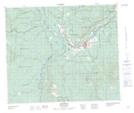
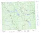
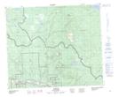
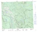
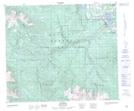
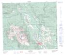
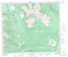
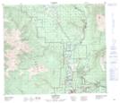
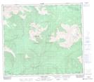
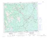
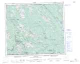
Bulkley River NTS Map Sheets
093L07 Houston Topographic Map at 1:50,000 scale
093L08 Forestdale Topographic Map at 1:50,000 scale
093L09 Topley Topographic Map at 1:50,000 scale
093L10 Quick Topographic Map at 1:50,000 scale
093L11 Telkwa Topographic Map at 1:50,000 scale
093L14 Smithers Topographic Map at 1:50,000 scale
093M03 Moricetown Topographic Map at 1:50,000 scale
093M04 Skeena Crossing Topographic Map at 1:50,000 scale
093M05 Hazelton Topographic Map at 1:50,000 scale
093M06 Suskwa River Topographic Map at 1:50,000 scale
093L Smithers Topographic Map at 1:250,000 scale
093M Hazelton Topographic Map at 1:250,000 scale