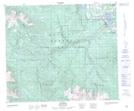
Maps showing Maclure Lake Park, British Columbia
Maclure Lake Park is a Conservation area located in British Columbia.
- Latitude: 54° 42' North (decimal: 54.7000000)
- Longitude: 127° 2' West (decimal: -127.0332999)
- Topography Feature Category: Conservation area
- Geographical Feature: Provincial Park
- Canadian Province/Territory: British Columbia
- GPS Coordinate Locator Map: Maclure Lake Park Lat/Long